- (760) 964-4351
- info@mikecodylandsurveying.com
- License: 10121
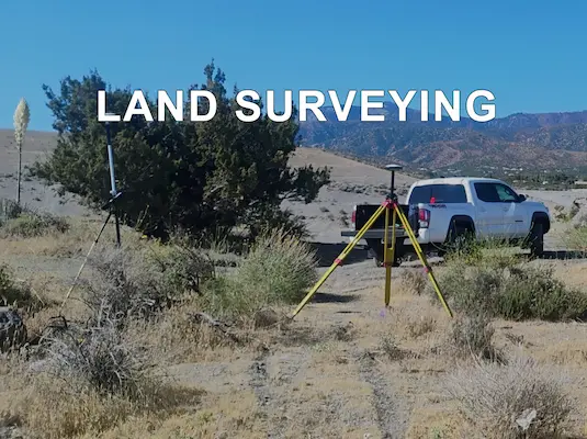
Accurate, reliable surveying services for property owners, developers, contractors, and real estate professionals.
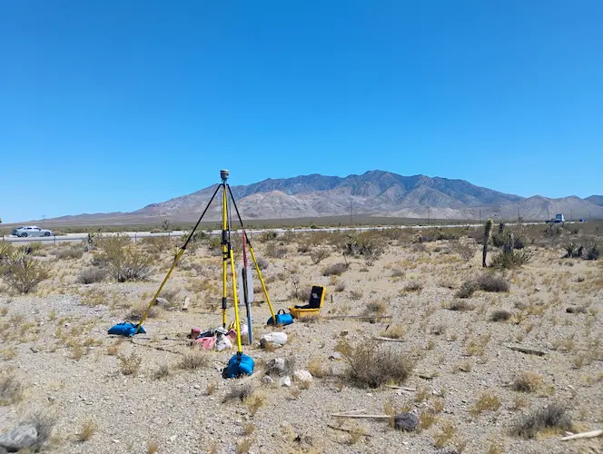
Boundary surveys help identify property lines, corners, and limits of ownership so you can move forward with confidence on improvements, sales, or planning.
Lot surveys provide important property details for homeowners, builders, and buyers who need a clear understanding of lot dimensions and site conditions.
Record surveys document surveyed property information and help establish accurate records for property boundaries, improvements, and related land details.
Boundary and easement exhibits provide clear visual references for property limits, access areas, utility easements, and other important land-use details.
Topography surveys map the natural and existing features of a property, including elevations, slopes, structures, and site details needed for design and planning.
Construction staking helps transfer approved plans to the job site, giving contractors accurate layout points for grading, foundations, utilities, and improvements.
FEMA certificates provide important elevation and flood-related information that may be needed for insurance, permitting, property review, or compliance purposes.
Lot line adjustment services help revise property boundaries between neighboring parcels while supporting the documentation needed for review and approval.
Legal descriptions for deeds and surveying help define property areas with accurate written descriptions used for transactions, records, and property documentation.