- (760) 964-4351
- info@mikecodylandsurveying.com
- License: 10121
Mike Cody is a licensed professional land surveyor, License #10121, specializing in precision mapping and boundary determination.
He began his surveying career in the High Desert in 2004, developing deep expertise in the region’s unique terrain, legal boundaries, and development history.
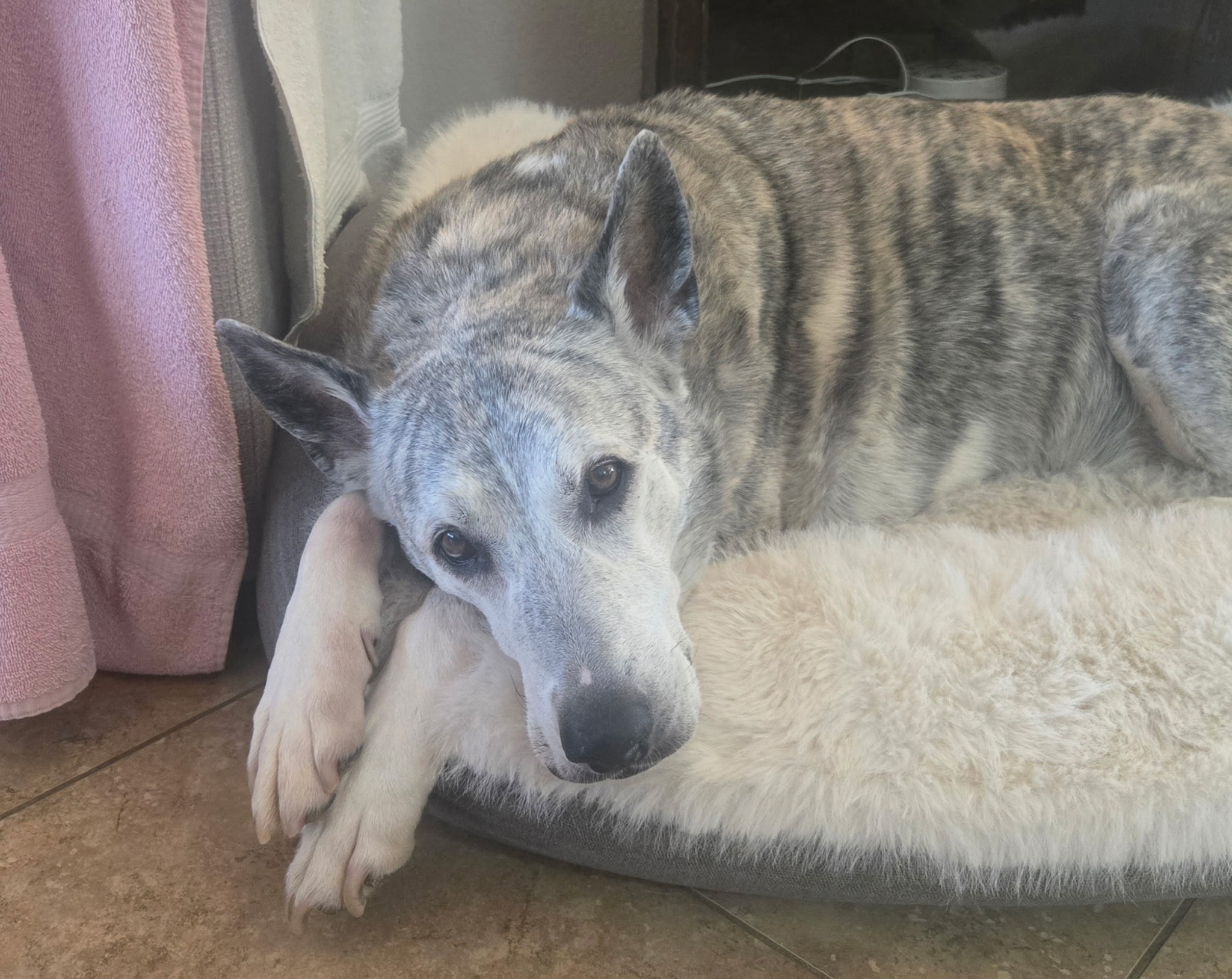
Over the past two decades, Mike and his dog Sheamus have built a reputation for hard work, dependable service, and delivering accurate, reliable data for property owners, contractors, developers, and real estate professionals.
Land surveying in the High Desert requires more than equipment and measurements. It requires local knowledge, attention to detail, and an understanding of how property records, terrain, access, and development patterns all work together.
Mike brings more than 20 years of hands-on experience to each project, helping clients get the information they need to make confident property decisions. Whether the project involves a boundary survey, lot survey, topography survey, construction staking, easement exhibit, legal description, or lot line adjustment, the goal is always the same: accurate results, clear communication, and reliable service from start to finish.
When accuracy matters, choosing the right land surveyor can help prevent confusion, delays, and costly mistakes.
Over 20 years of dedicated High Desert surveying experience with knowledge of local terrain, property layouts, and development conditions.
Fully certified and compliant with state standards as a licensed professional land surveyor, LS #10121.
Utilizing long-standing surveying practices to provide precise, dependable results for residential, commercial, and development projects.
Clear communication, practical guidance, and timely project delivery from the first conversation through the completed survey.
Get accurate surveying support from a licensed professional with decades of local High Desert experience.
Request Quote